Paddling & Rafting in Canyon Point & Grand Staircase, Utah
The defining kayak trip in canyon country is the paddle into Lower Antelope Canyon — launching from Antelope Point Marina, covering two and a half miles across Lake Powell as the Navajo sandstone walls rise around you, then entering the slot where the canyon narrows and light comes in from above in the same golden beams that make the upper canyon famous. Tours run March through October and require a licensed guide on Navajo land.
The defining kayak trip in canyon country is the paddle into Lower Antelope Canyon — launching from Antelope Point Marina, covering two and a half miles across Lake Powell as the Navajo sandstone walls rise around you, then entering the slot where the canyon narrows and light comes in from above in the same golden beams that make the upper canyon famous. Tours run March through October and require a licensed guide on Navajo land. Beyond Antelope Canyon, Lake Powell's shoreline opens into side canyons and alcoves only reachable by water. Early morning paddling — before motorboat traffic builds on the reservoir — delivers a stillness the lake rarely offers at any other hour.
Weather & Conditions
Showing viable months only — Jan, Feb, Dec are off-season for this activity.
| Month | High / Low | Rain Days | Conditions |
|---|---|---|---|
| Mar | 62° / 34°F | 4 | Okay |
| Apr | 72° / 42°F | 3 | Good |
| May | 82° / 51°F | 2 | Peak |
| Jun | 93° / 60°F | 2 | Good |
| Jul | 99° / 67°F | 7 | Okay |
| Aug | 96° / 65°F | 8 | Okay |
| Sep | 87° / 56°F | 5 | Good |
| Oct | 74° / 44°F | 4 | Peak |
| Nov | 58° / 31°F | 3 | Good |
Where to Go
5 miles from Big Water, Utah. On the edge of Grand Staircase-Escalante with views across the Colorado Plateau.
1.7 million acres of roadless canyon country. Coyote Gulch, Escalante River canyons, Kaiparowits Plateau.
Reservoir formed by Glen Canyon Dam. Kayaking into Lower Antelope Canyon. Wahweap Marina launch point.
Upper and Lower Antelope Canyon on Navajo land near Page. Guided tours required. Lower accessible by kayak from Lake Powell.
270-degree meander of the Colorado River. 1.5-mile round trip hike from Highway 89. Go before 7am or after 6pm.
Lottery permit required via Recreation.gov. 6-mile roundtrip. The most sought-after day hike in the American Southwest.
California condor reintroduction site since 1996. 100+ condors in the wild. Annual public condor release on National Public Lands Day.
Buckskin Gulch — longest slot canyon in North America. Overnight permits required. Flash flood risk is real and serious.
Closest town and airport. Base for Antelope Canyon tours, Lake Powell access, and Horseshoe Bend.
Gateway town to the northwest. Wave permit pickup point. Access to Zion, Grand Canyon North Rim.
Multi-day backpacking route in Grand Staircase. Natural arches, slot canyons, and the Escalante River. Spring and fall only.
Know Before You Go
Permits for Coyote Buttes North (The Wave) are issued through a lottery on Recreation.gov. The advance lottery opens four months before your desired date and is the most reliable method. The daily walk-in lottery requires you to be physically present in Page or Kanab two days before your hike. Less than 5% of applicants are drawn in peak season. Apply for the advance lottery the moment your dates are set.
Slot canyons including Antelope Canyon, Buckskin Gulch, and Coyote Gulch can fill with water in minutes from storms that are completely invisible from inside them. Antelope Canyon operators close tours without warning during storm advisories. The BLM advises checking weather across the entire watershed — not just the sky above the trailhead — before entering any slot canyon.
Horseshoe Bend, Upper and Lower Antelope Canyon, and the Wahweap Overlook of Lake Powell are all genuinely extraordinary — and genuinely crowded from 9am to 4pm in peak season. Horseshoe Bend before 7am is a different experience from the same place at noon. The canyon country rewards the early riser more than almost anywhere else in the American West.
Ready to plan your paddling & rafting window?
Tell us when and how you travel — we'll match it to the right months, the right properties, and the right price.
Hotels & Lodges for Paddling & Rafting
Amangiri
Minimalist concrete pavilions hidden within the stark mesas of the Colorado Plateau.
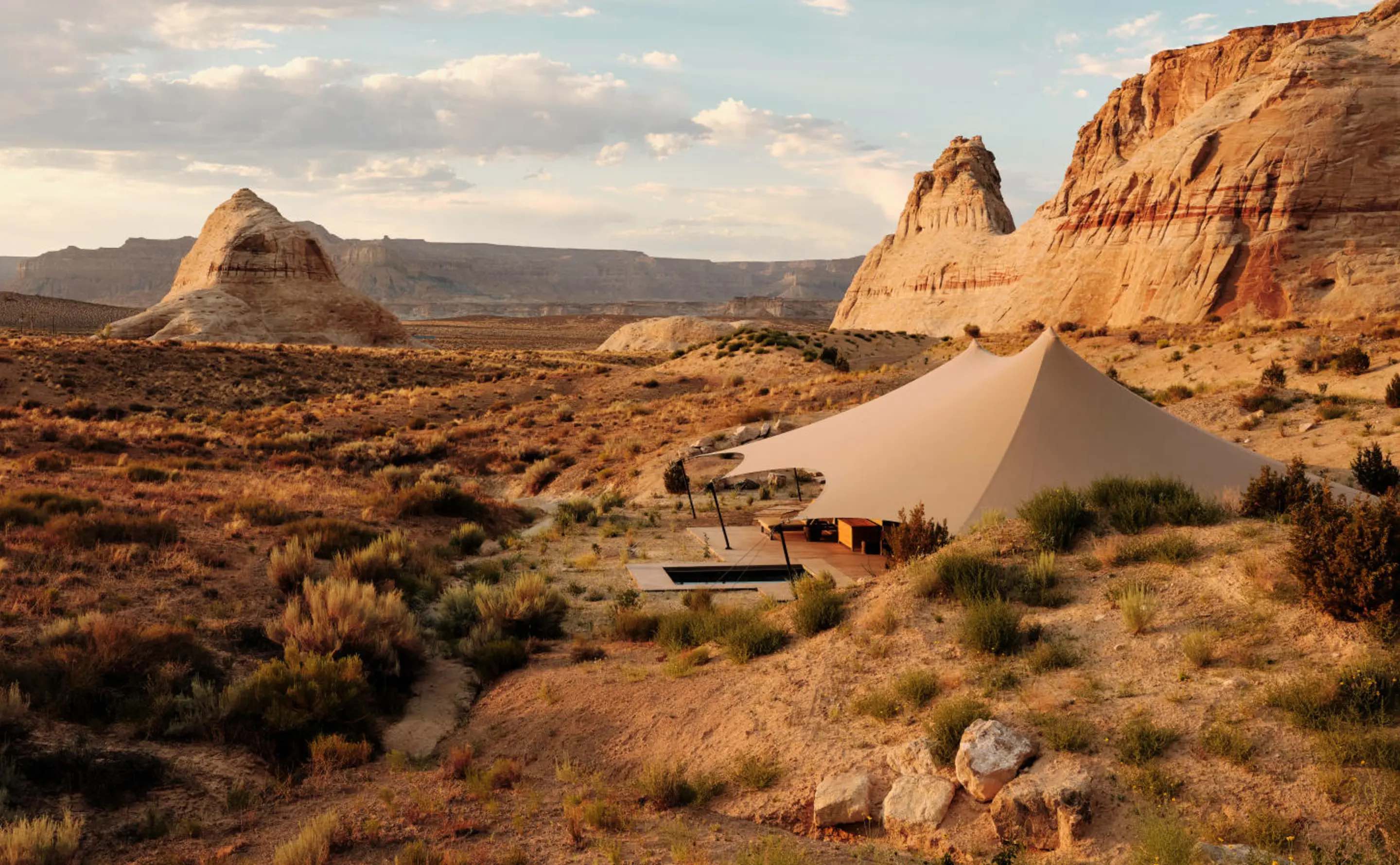
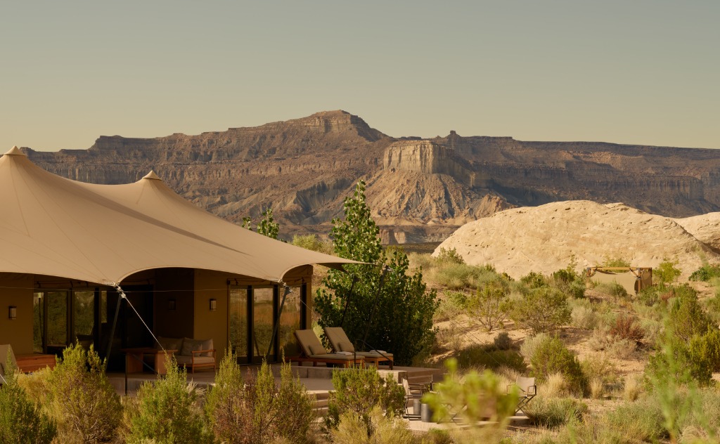
Camp Sarika by Amangiri
A secluded enclave of ten tented pavilions with private plunge pools, set in a private canyon near the main Amangiri resort.
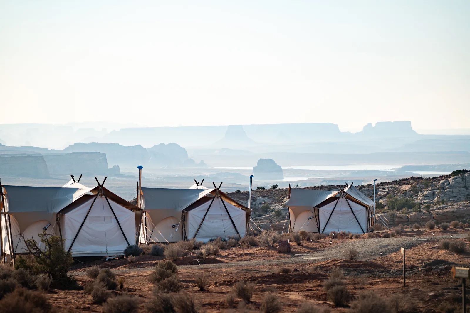
Under Canvas Lake Powell–Grand Staircase
A safari-style glamping camp on a high canyon rim, offering off-grid luxury tents with private decks and wood-burning stoves.