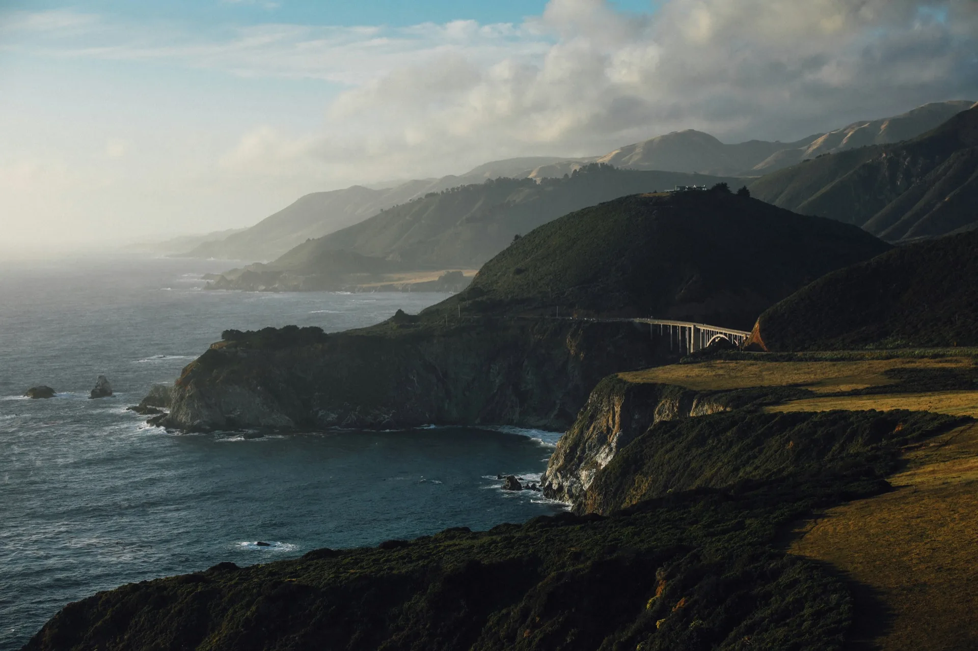
Big Sur, California
Coastal Redwood Hiking, Sea Otter and Grey Whale Wildlife, and the sea caves and tide pools of the Ventana Wilderness coast.
Big Sur punishes the unprepared and rewards the patient. Highway 1 is the only road in and out, and it closes — sometimes for weeks, sometimes months — due to landslides, bridge washouts, or fires.
Big Sur punishes the unprepared and rewards the patient. Highway 1 is the only road in and out, and it closes — sometimes for weeks, sometimes months — due to landslides, bridge washouts, or fires. Cell service is effectively nonexistent south of Carmel. Summer means fog so thick you'll question why you drove here.
When to visit
Bar height = overall visitability. Color = conditions tier.
June through August, the marine layer locks in daily by mid-morning and rarely clears before evening. Plan inland hikes and accept the coast will be gray.
October delivers everything Big Sur promises but rarely delivers in summer: clear skies, warm afternoon light, and a coast emptied of summer visitors.
What's good, and when
October: The Best Month
October is the consensus answer among anyone who has spent serious time here: the coast is clear, the crowds have thinned, and the light is extraordinary.
Ready to plan your trip?
Tell us when and how you travel — we'll match it to the right months, the right properties, and the right price.
Hotels & Lodges
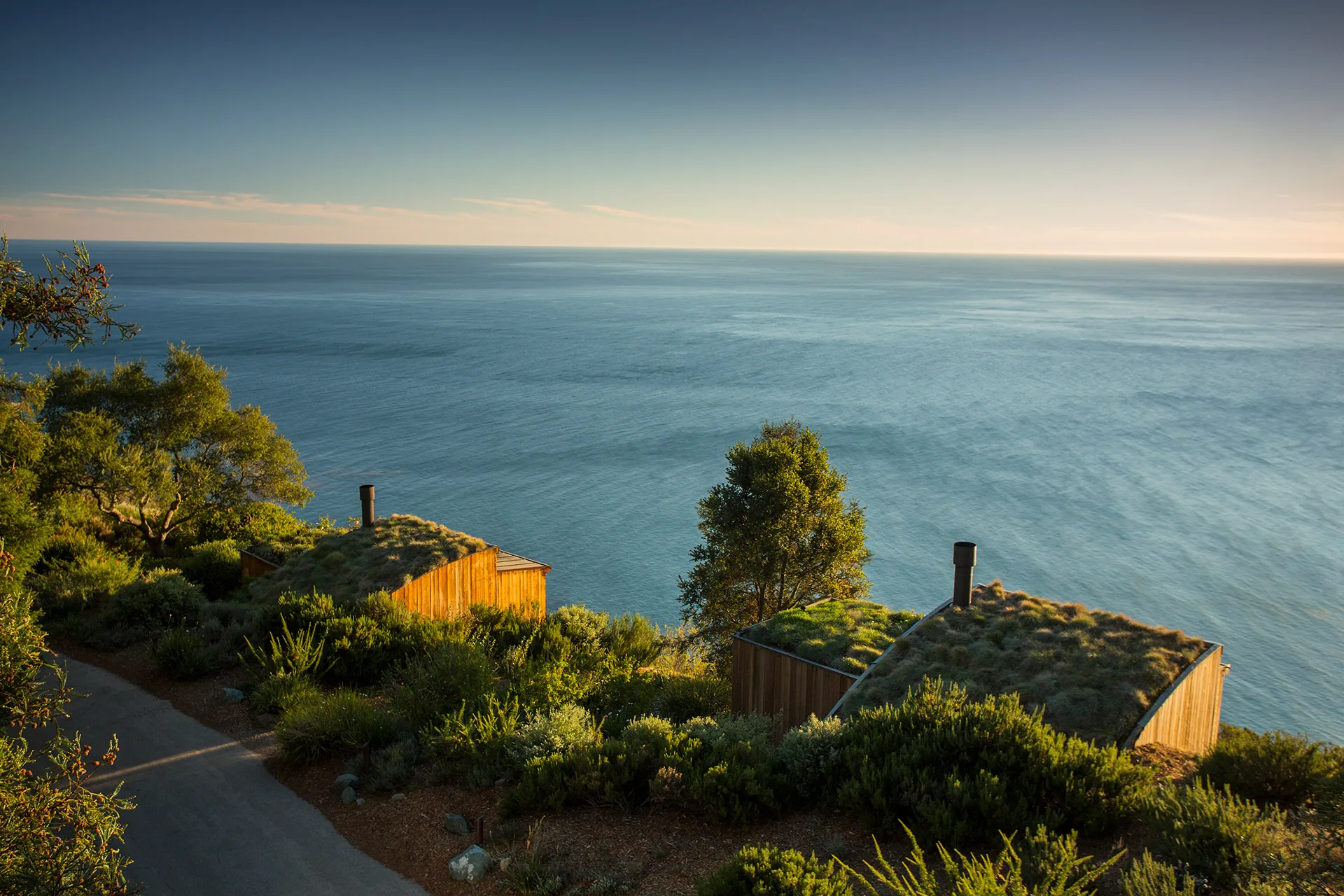
Post Ranch Inn
Clifftop retreat suspended between redwoods and Pacific.
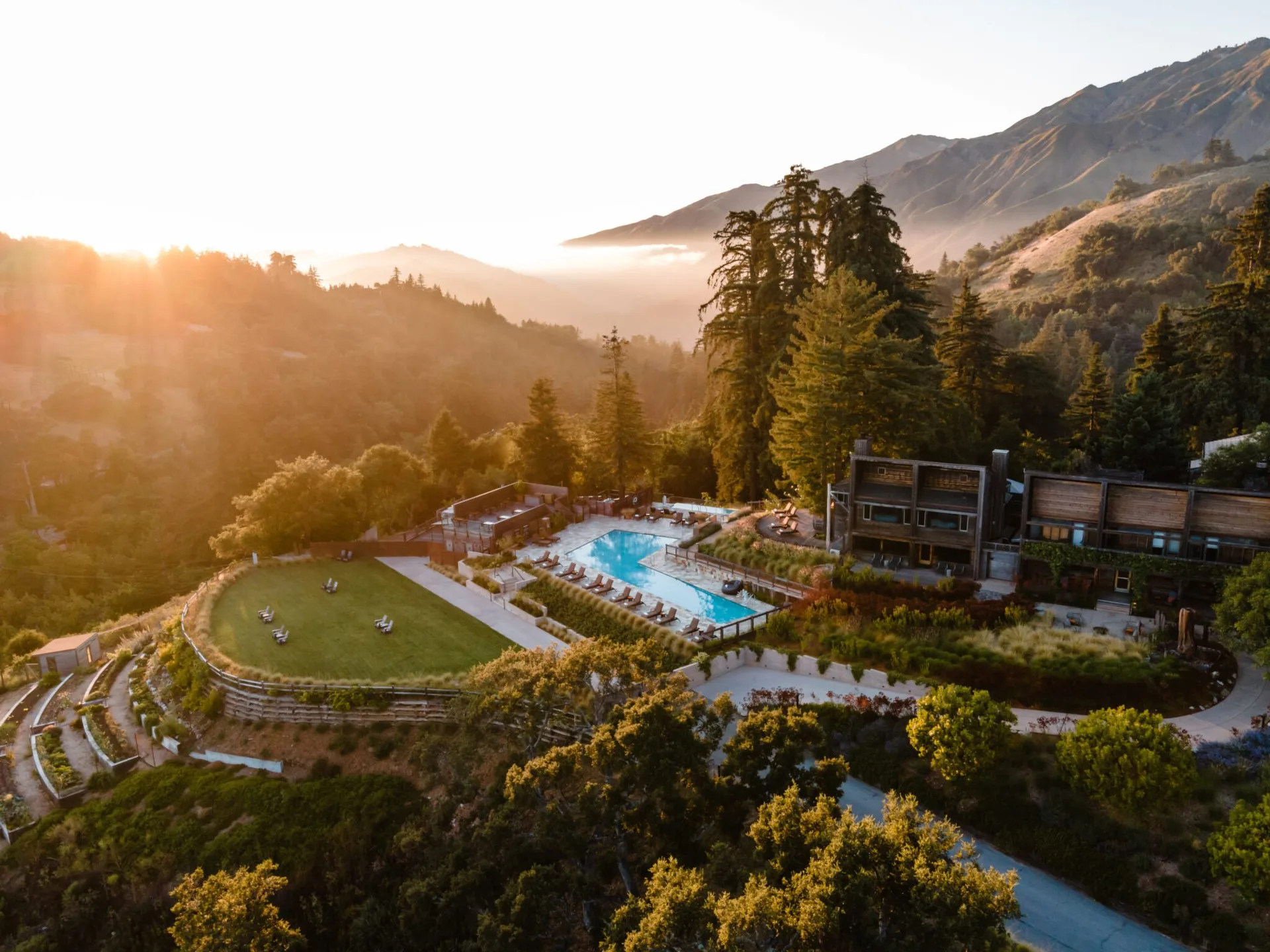
Alila Ventana Big Sur
An all-inclusive sanctuary of weathered redwood decks nestled in the coastal ridges above the Pacific.
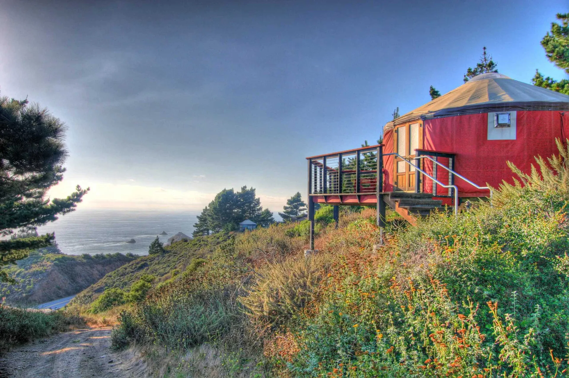
Treebones Resort
A coastal cliff yurt retreat overlooking the Pacific Ocean in southern Big Sur.
The Reality Check
Highway 1 closes. Seriously.
This is not a theoretical risk. Landslides, bridge failures, and rockfalls have closed Highway 1 for months at a time in recent years. Check Caltrans conditions the day before every drive and have a contingency plan. There is no alternate route.
Check Caltrans DailyNo cell service, no backup
From south of Carmel to north of San Simeon, reliable cell service is effectively absent. Download offline maps, notify someone of your itinerary, and do not rely on your phone for navigation or emergency contact.
Offline Prep RequiredSummer fog is not a disappointment — it is the weather
June, July, and August are socked in with marine layer from late morning onward. If you visit in summer, plan for it: hike above the fog line, embrace the atmosphere, and do not expect a Mediterranean coastline.
Fog June–AugustHead-to-Head Comparisons in Big Sur, California
Direct comparisons of rates, atmosphere, and setting to help you pick the right property.